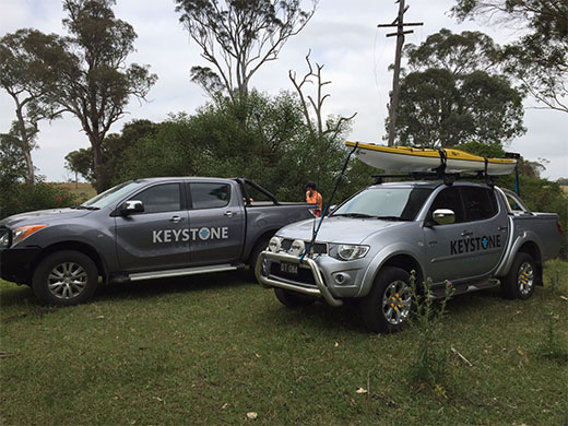
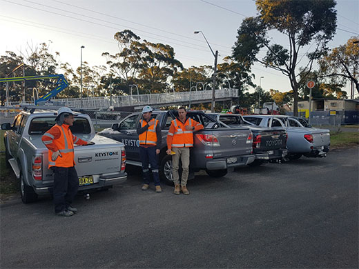
Keystone Survey
Residential Surveying
Residential Surveyor Sydney, Central Coast, Newcastle
Keystone Survey offers an extensive range of surveying services for residential property owners, developers and architects. We can complete contour/detailed topographic surveys as well as identification and peg out surveys on any residential property. If you require residential services across Newcastle, Sydney and Central Coast areas think Keystone Survey.
If you require assistance to decide whether a surveying method is right for your property contact Keystone Survey.
Identification Surveys effectively and with high accuracy provide land ownership boundaries and usage information. We check for features such as fences, locations of buildings and the surrounding boundaries. The general reason a property owner may require an identification survey is for legal reasons such as in a contract of sale. You may need an identification survey when you are purchasing a property to help with obtaining a building certification. A building certificate is valid for 7 years and ensures the property is clearly defined. Identification surveys also establish the boundaries between neighbours and can include easements, which is the right to use another’s property without owning it, such as a driveway or path. Different states have varying laws for how an Identification Survey is to be completed and you may require a licensed or registered surveyor which Keystone can offer.
Peg out surveying is a simple method of marking out the four corners around your property. This type of survey can allow for a single boundary line to be marked and is generally used prior to construction. You may need to complete a peg out survey if you are installing a new fence, when you need to mark out the boundaries between you and your neighbour and when your building a new extension. After a peg out survey has been completed you will receive plans showing the position of each peg and the installation of the pegs.
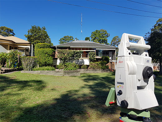
A detail survey provides information on the features or details of a property. Features can include flora, location of trees, vegetation and any rocks. A detail survey can also locate and mark man-made features such as a buildings, structures, fences, retaining walls, driveways and landmarks. It assesses elevation, spot levels and contours in relation to the Australian Height Datum. A detail survey is limited to surveying the boundaries of the property.
Throughout the surveying process we provide our customers with information on these relevant feature. We ensure clients are happy with everything we have provided and include any necessary information to help meet council requirements.
Level/ Height AHD Surveys allows you to meet building codes and to receive council approval, which results in building structures being safer. We take elevation, cross fall and slipe o an area of land into consideration which leads to a safer structure. Additional benefits include assisting in helping the property to hold up to intense weather and even minor natural disasters. To do a level/ height AHD survey it is essential to have a registered surveyor complete all boundary surveys.
If you have a home or development that is positioned inside a flood zone, it is compulsory to have a flood survey completed before any new development is undertaken. Flood surveys also accurately identify the flow of water over the site and are related to the Australian Height Datum (AHD). During a flood survey, we analyse the topography of the land and consider various other factors to assess the flooding risk on your residential property. We also check if there are any draining problems that could arise over time. After each job, you will receive detailed reports and certifications to acquire council approval.
A residential subdivision or Torrens title subdivision involves dividing the property into multiple lots making each land lot completely separate from one other.
How is this achieved?
- A Keystone Surveyor will undertake a detailed survey of the property
- Prepare draft subdivision plans to accompany your DA application for the Council
- review development consent to ensure subdivision is compliant and the creation of any required easements
- Lastly, a final subdivision plan is created which is able to be then submitted at your local council and registration at the Titles Office.
A Strata title subdivision defines the space for each lot in a building and can be used for residential blocks, villas, townhouses, commercial offices, industrial compounds and retirement villages. Strata plans are prepared from architectural plans. We provide a draft Strata plan which assists with gaining approval to subdivide. At the end of development, a final Strata plan is created which needs to be completed by a registered surveyor. The land to be subdivided must have the building within its boundaries.
Get A Quote
If you or your business requires surveying solutions that don’t cut on quality, get a quote.